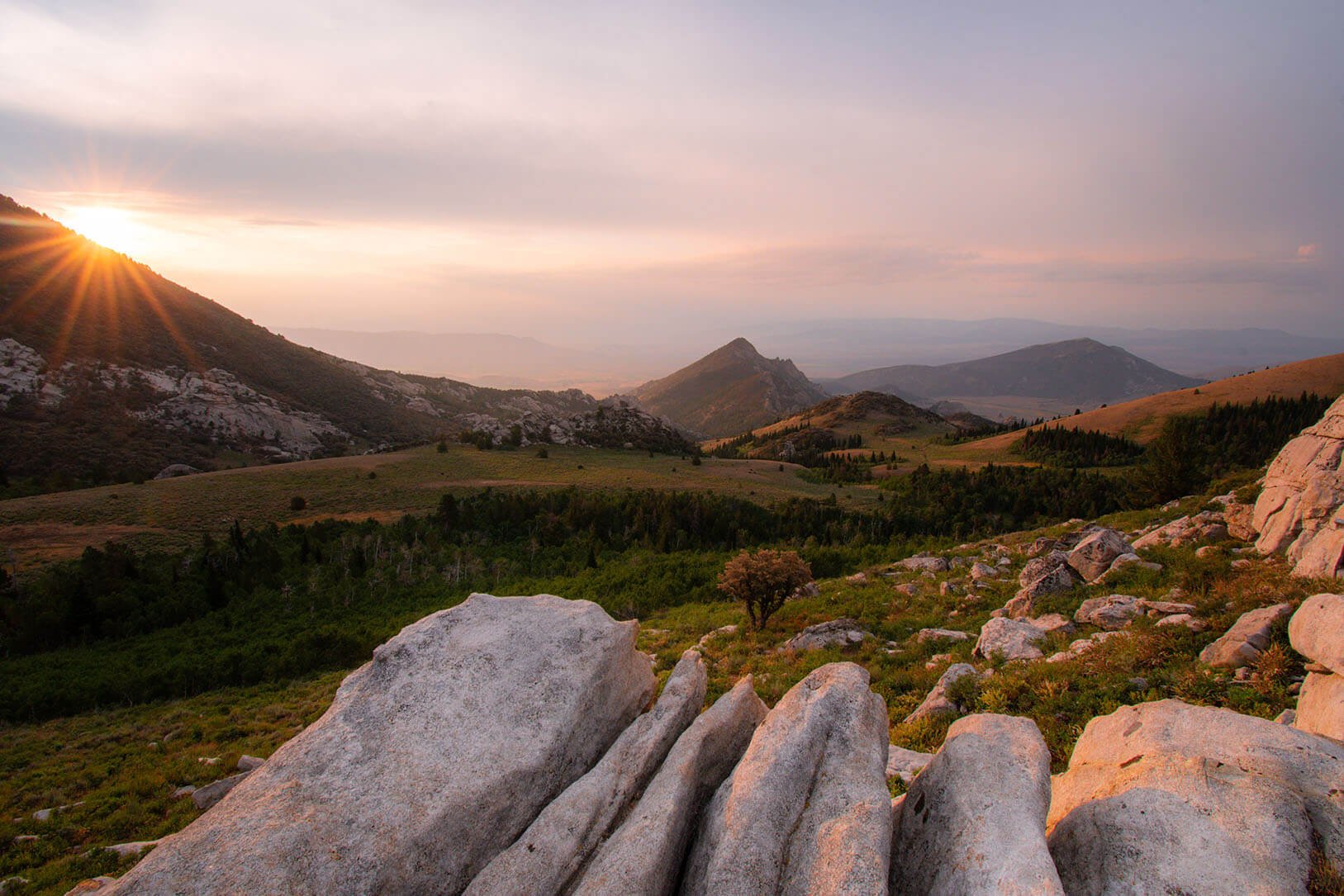
Oakley Valley, Cassia county, ID
Basin, Cassia county, ID (farming community)
Settled: 1878 by Mormon settlers
Original Name: Spring Basin
Origin of Name: Named for the general basin-shape of the valley
Known for: Agricultural area and one of the first settlements in the area
Notable Features: Cemetery, had a post office 1883-1909
Location: 5.3 miles (9 minutes) east of Oakley on East Main St
No population figures on this unincorporated rural Idaho community
Churchill, Cassia county, ID (farming & residential community)
Settled: By Mormon settlers 1880-82
Original Name: Golden Valley
Origin of Name: Named for two families of early settlers, the “Churches” and the “Hills”
Location: 14.6 miles (18 minutes) southwest of Burley on Hwy 27, then turning left on 1000 S. - Golden Valley Road; northwest of Oakley, adjacent to Marion
No population figures on this unincorporated rural Idaho community
Cottonwood, Cassia county, ID (farming & residential community)
Location: West of Oakley
No population figures on this unincorporated rural Idaho community
Golden Valley, Cassia county, ID (farming & residential community)
Origin of Name: Optimistically chosen by early settlers of that area
Known for: agricultural area
Location: 14.6 miles (18 minutes) southwest of Burley on Hwy 27, then turning left on Golden Valley Road, 1000 S.
No population figures on this unincorporated rural Idaho community
Hazel, Cassia county, ID (farming community)
Origin of Name: Named for Hazel Stoddard, daughter of the first postmaster, an early settler
Notable Features: Cemetery, had a post office that closed in 1905
Location: South of Burley on Hwy 27, in the general area of 700 S. and 100 W.
No population figures on this unincorporated rural Idaho community
Island, Cassia county, ID (farming community)
Origin of Name: Before the Oakley dam was constructed, Goose Creek divided into two forks during the spring runoff, creating an island
Notable Features: Cemetery, post office 1882-1916
Location: Located west of Hwy 27, with Trout to its north and Marion to its south
No population figures on this unincorporated rural Idaho community
Kenyon, Cassia county, ID (farming & residential community)
Settled: Established under the Carey Land Act of 1894
Origin of Name: Named after William D. Kenyon, a Burley businessman who tried and eventually failed to establish the town of Kenyon
Notable Features: Originally a rail stop on the Union Pacific Railroad and later a labor camp south of Burley; had a post office 1911-1919
Location: 11.8 miles (18 minutes) southwest of Burley on Hwy 27 S, turning west on 700 S
No population figures on this unincorporated rural Idaho community
Marion, Cassia county, ID (farming & residential community)
Origin of Name: Named for Francis Marion Lyman, the Church of Jesus Christ of latter-day Saints official who helped direct the settlement of Oakley
Known for: Once a thriving community; historic Marion Dance Hall, built in 1906, is preserved
Notable Features: Cemetery; agricultural & residential area
Location: 20.3 miles southwest of Burley on Hwy 27, south of Island
No population figures on this unincorporated rural Idaho community
Moulton, Box Elder county, UT (farming & residential community)
Origin of Name: Named for a man named Moulton, its first postmaster,
Known for: Site of the Vipont Mine, a famous mine near Oakley in the early 1900s; had a post office 1910-1930
Location: 48.4 miles (79 minutes) south of Burley on Hwy 27, then Birch Creek Road, in Junction Valley, which spreads from south Cassia County into Utah’s Box Elder County at the convergence of Junction and Cottonwood Creeks
No population figures on this unincorporated rural northern Utah community
Oakley, Cassia county, ID
Settled: Oakley Meadows Stage Station was established by William Oakley in 1870, two miles west of present-day Oakley. A group of Mormon colonizers from Grantsville and Tooele, Utah settled near the Oakley Meadows Stage Station on June 1, 1875
Original Name: Goose Creek CrossingOrigin of Name: Named for William Oakley, an early stage station operator
Location: 21 miles south of Burley on Hwy 27
Known for: Historic Victorian Homes & Home Tour, conducted every other summer; a unique product called “Oakley Stone,” an important construction commodity, shipped and utilized to an international market; once boasted a population of over 2,000 during the mining boom of the early 20th century; had a vibrant downtown, including several saloons, various retail shops, implement houses, The Oakley Herald, its local newspaper, independent banks & other businesses; Clark’s grocery’s building, originally built as a ZCMI cooperative, has operated continuously for nearly 100 years; Howells Opera House, provides community theater each year. Howells Opera House building and Clark’s grocery building are both on the Idaho Historic & National RegisterNotable Features: 2 cemeteries, post office, city offices, public schools, public swimming pool, volunteer fire station, recreation district; LDS church; cafe, bed & breakfasts, grocery store, fabric store, convenience store; Howells Opera House
Location: 23.7 miles (24 minutes south of Burley on Hwy 27
Population 2022: 812
Trout, Cassia county. ID (farming community)
Location: North of Marion, 17 miles southwest of Burley on Hwy 27, the Trout area is north of both Trout and Marion
No population figures on this unincorporated rural Idaho community
Warm Creek, Cassia county, ID (farming community)
Location: Northwest of Oakley, along the foothills of the South Hills Mountains
No population figures on this unincorporated rural Idaho community
