Cassia County’s Early Historical Overview
Cassia (pronounced CAZZ-yuh) County was created in 1879 from the original Idaho counties of Owyhee and Oneida. Its original jurisdiction included all of what is now Twin Falls County and part of Oneida County. According to Wikipedia, ”On December 31, 1863, Owyhee County became the first county organized by the Idaho Territory Legislature. While Boise, Idaho, Nez Perce, and Shoshone counties were organized under the laws of Washington Territory, they were not recognized by the Idaho Territory until February 1864. The original county seat at Ruby City was moved to nearby Silver City in 1867.
“Owyhee County's original boundary was the portion of Idaho Territory south of the Snake River and west of the Rocky Mountains. Less than a month after the creation of Owyhee County, Oneida County was formed in January 1864 from the eastern portion of the county.”
The vastness of Owyhee County presented enormous logistical challenges, as residents had to travel to the county seat in Silver City or the Territorial Capital in Boise to conduct county business- long journeys that took several days by horseback. A petition to divide Owyhee County into smaller, more manageable areas was drawn up in 1877. But, the petition arrived too late for the Territorial Legislature to act that session. Since the Legislature only met every other year, consideration of the petition was delayed and finally granted on February 10, 1879. Cassia County originally included all of what is now Twin Falls County in the west and Power County in the east.
Marsh Basin, later renamed as Albion, was designated as the county seat. The residents immediately began setting up their county government, creating election boards in each of the communities and providing for the building and care of roads. The 1904 completion of the Minidoka Dam, of the Minidoka Reclamation project, brought in thousands of families eager to homestead the newly developed lands. In 1918, Cassia’s county seat was moved from Albion to the newly constructed town of Burley.
Created: Feb. 1879 from parts of Oneida and Owyhee counties; later reduced in size when Power and Twin Falls counties were formed
Settled: The indigenous Northwestern Shoshoni ranged from Grouse Creek, Utah, through southern Idaho and northern Utah, to Pocatello, Idaho. In 1811, John Jacob Astor’s fur expedition met with disaster as they floated in canoes down the Snake River. Unexpectedly they encountered the swirling rapids of Caldron Linn, near present-day Murtaugh. Most escaped unharmed, but French- Canadian helmsman Antoine Clappine drowned; the first known white to die in Idaho. Interestingly, as the survivors scrambled to shore, they were divided on opposite shores of the mighty river. When they could not find a safe place to unite, both parties separately headed for what became Fort Astoria at the mouth of the Columbia river, where they eventually met some time later.
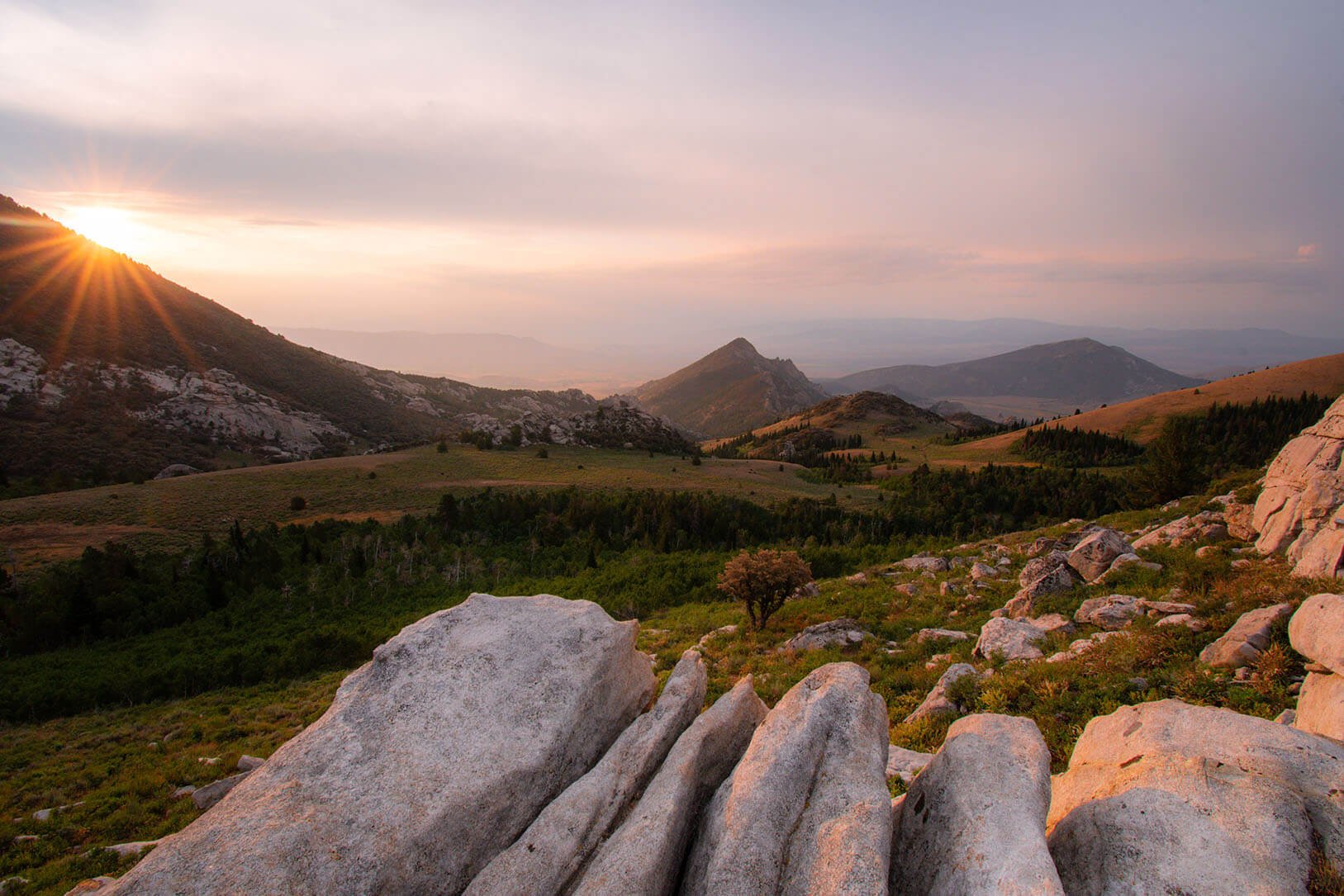
Fur trappers travelled the country, relying on Indian guides to help them establish the Combined California/Oregon Trail entered Cassia’s northeastern borders to the Parting of the Ways junction in the Raft River Valley. There the trails separated, with the Oregon Trail continuing along the southern bank of the Snake River, through present-day Burley, then on to Boise and finally Oregon country. The California Trail headed southward through the Almo area and City of Rocks, over Granite Pass, then eventually through northern Nevada and California. During the 1870s, Cassia was settled by groups including Mormons, cattlemen, and miners, especially in the City of Rocks area and Oakley Basin.
Origin of Name: Named after Cassia Creek; the origin of whose name has several possibilities: 1) Named after the “cassia” plant that grows along stream banks. But since “cassia” is a tropical plant, originating in Indonesia, that is somewhat doubtful; 2) a French trapper named “Cazier” (pronounced somewhat like “cassia” in French) gave his name to what became known as Cassia Creek; 3) named after John Cazier, a member of the Mormon Battalion and an emigrant train captain; 4) a fourth and most likely theory is that “cassia is a corruption of the French peasant word cajeux, meaning “small rafts”
Known for: Five historic pioneer trails run through Cassia County, the most of any U. S. county, including the 1) the combined California/Oregon Trail; 2) the main Oregon Trail; 3) the California Trail; 4) the Hudspeth Cutoff of the Oregon Trail; 5) the Salt Lake Cutoff, forged by the Mormon Battalion, as they returned from California.
Notable Features: Much of Cassia County is located in Magic Valley, which is known as a breadbasket for America’s ag industry, and said to raise the largest variety of farm products in the US; Magic Valley was named for the magical transition of the once-barren desert after the Minidoka Reclamation Project delivered irrigation water to the area; the area is known for its abundant wildlife in mountains and along waterways; waterways provide quality outdoor recreation; becoming equally known for its strategic location on major highways, located along I-84, almost equally located between destinations in Boise and Salt Lake City, Seattle and Denver and other markets, it has become a trucking hub; Oakley Stone, a unique product, with an international market, quarried by several businesses with quarries south and east of Oakley is the 2nd largest industry in the county, trailing only agriculture.
Location: Located in south central Idaho’s Magic Valley, 38.8 miles east of Twin Falls on I-84 E
Population 2020 Census: 24,655, up from 22,952 in 2010
